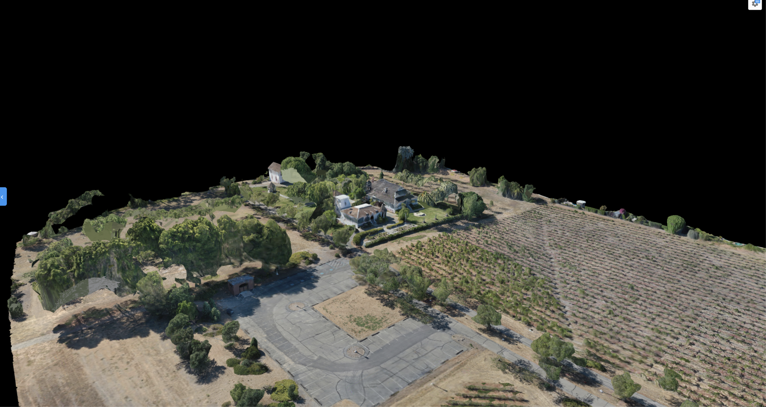
Using industry leading 3D mapping technology, expeditiously survey large areas creating detailed interactive topographic maps.
Identify-
Elevation changes
Water run off routes
Debris volumes
Surface Areas
and more


Using industry leading 3D mapping technology, expeditiously survey large areas creating detailed interactive topographic maps.
Identify-
Elevation changes
Water run off routes
Debris volumes
Surface Areas
and more